The Story Behind PreflightAPI
Built by a Pilot, for Developers
PreflightAPI started as a personal need and grew into a mission: give every aviation developer access to comprehensive, accurate US aviation data from a single source.
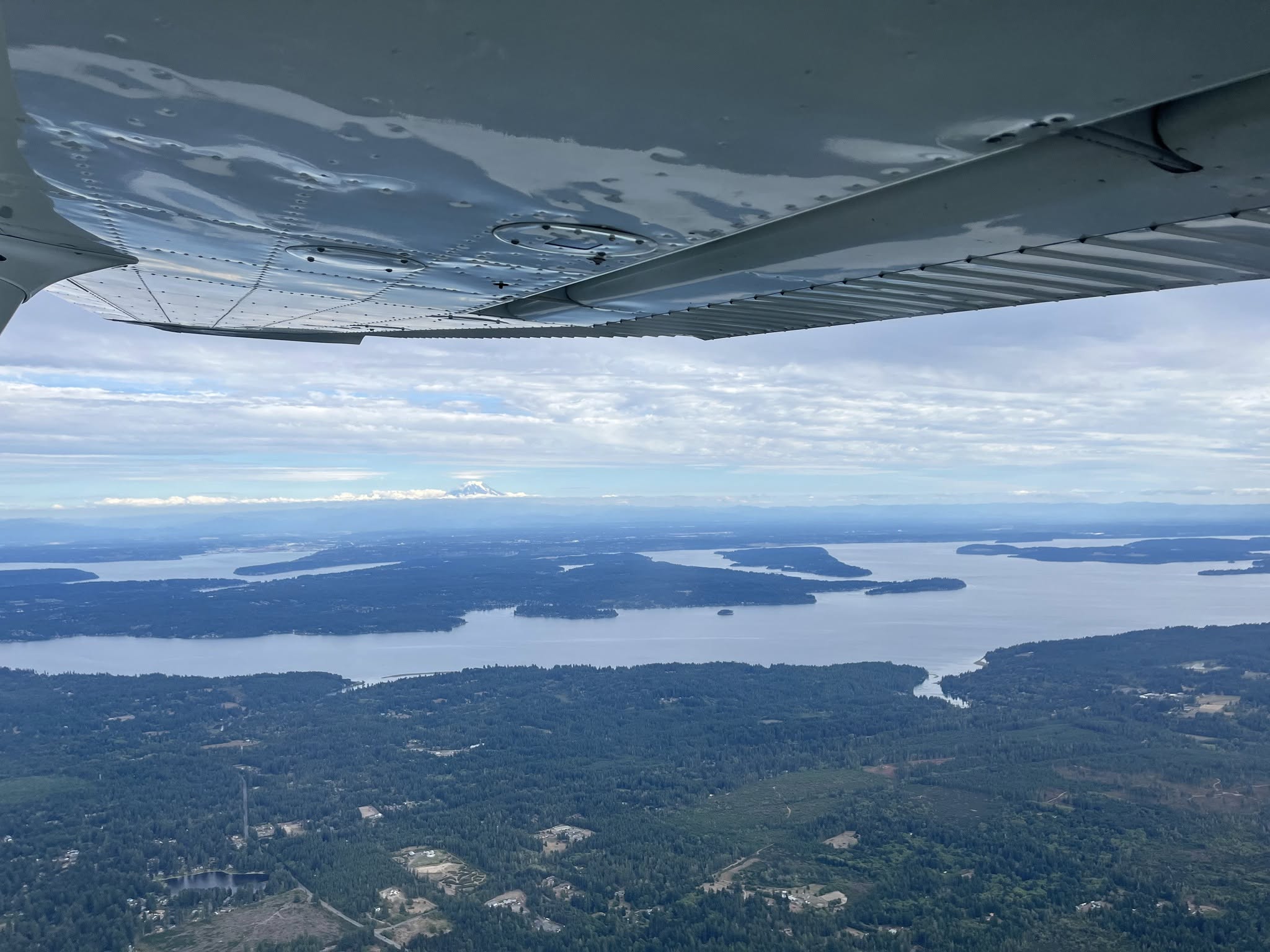
Flying over the Puget Sound, Washington
Chapter 1
Pilot First, Developer Second
I'm Brandon Berisford — a software engineer and private pilot. I started flight training in 2022 while working full-time in the defense aviation industry, and earned my PPL in 2023. Writing code during the week and flying on weekends is what eventually led to PreflightAPI.

Early mornings on the ramp during student pilot days, 2022

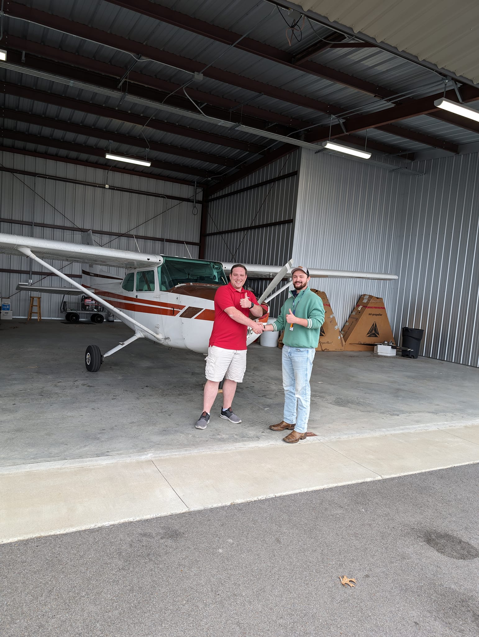
Checkride day — PPL earned, 2023
Chapter 2
From Hobby Project to Product
After getting my PPL I started building a hobby flight planning app — and immediately hit a wall. The aviation data I needed was scattered across half a dozen government sources, each with its own format and quirks. So I built a backend to pull it all together into one clean API. That backend became PreflightAPI.
Chapter 3
Why PreflightAPI Exists
If I needed this, other developers probably do too. Aviation data is scattered across the FAA, NOAA, ArcGIS, and more — each with its own formats, restrictions, and update schedules. PreflightAPI is the infrastructure that pulls it all together, so you can focus on building your product.
One Source of Truth
Weather, airports, NAVAIDs, airspace, NOTAMs, obstacles, charts — all behind a single API key.
We Keep It Current
Data stays in sync with FAA publication cycles and real-time weather feeds automatically.
Start Building in Minutes
Sign up, grab your API key, and make your first call. No contracts, no waiting.
Where the Data Comes From
PreflightAPI aggregates and normalizes data from official US government sources.
METARs, TAFs, PIREPs, SIGMETs, G-AIRMETs, winds aloft
Airports, runways, frequencies, NAVAIDs — updated every 28 days
Controlled & special-use airspace boundaries — updated every 56 days
Active NOTAMs by airport, geographic radius, or flight route
Terminal procedure charts (IAP, DP, STAR, airport diagrams) and Chart Supplement (A/FD) documents
625,000+ obstacles including towers, buildings, cranes, and terrain — updated daily